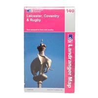
Ordnance survey landranger 140 leicester map orange
Plan and navigate your way around leicester with ease thanks to the landranger 140 map from ordnance survey which covers an area of 40km by 40km with a 150000 scale it provides a detailed overview areas like hinckley nuneaton coventry rugby bedworth atherstone thornton lutterworth welford wigston and part of the e2 european long distance pathcolour swatchorangebrandordnance surveycolourorange


.png)