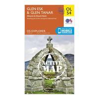
Ordnance survey explorer ol 54 active d glen esk glen tanar orange
Map sheet number ol 54 in the detailed os explorer map series covers part of the cairngorms national park the deeside way and mount keen the new replacement for the previous os explorer map 395 for this area this weatherproof active version will help you to reach the trig point at the peak of mount keen at 939m the area around glen esk and glen tanar is an area best explored on footcolour swatchorangebrandordnance surveycolourorange
.png)