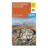
Ordnance survey explorer ol 21 active d south pennies map orange
Map sheet number ol 21 in the detailed os explorer weatherproof map series covers a beautiful area of the pennines and includes burnley hebdem bridge todmorden and keighley designed to help you to navigate in all weathers the ol 21 map gives you the tools to discover this areas highest peak lad law at 517m and shows the many footpaths which criss cross the landscapecolour swatchorangebrandordnance surveycolourorange


.png)