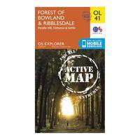
Ordnance survey explorer ol 41 active d forest of bowland map orange
Map sheet number ol 41 in the detailed os explorer map series covers the forest of bowland and yorkshire dales national park near clitheroe highlights of the area include the towns of clitheroe settle and lancaster and the ribble way wyre way lune valley ramble and pendle waycolour swatchorangebrandordnance surveycolourorange


.png)