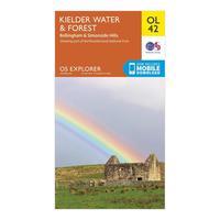
Ordnance survey explorer ol42 kielder water forest map with digital version orange orange
Providing complete gb coverage the os explorer map series details information essential in the great outdoors including youth hostels pubs and visitor information rights of way fences permissive paths and bridleways are clearly shown ensuring you have the best information to get the most out of your time in the countryside features pennine way national trail e2 european long distance route borders northumberland 125 000 scale 4 cm to 1 km 25 inches to 1 mile this map comes with


.png)